
Bonita Springs Neighbor Record Sources
No public source lists every person around a Bonita Springs address. Lee GeoView and the Property Appraiser show parcels and owners. Election records can identify registered voters through lawful request channels, subject to protected voters and restricted fields. City outreach names communities, not their members. Each source answers a different block question, so its limits belong beside the result.
| Local source | What it can show about the block | Access |
|---|---|---|
| Lee GeoView and GIS | Parcel shapes, adjacent lots, aerial context, districts | Free interactive web tools |
| Lee Property Appraiser | Owner, situs, mailing address, STRAP, exemptions | Free web search and public counter |
| Lee Elections records | Address-sortable voter data, less protected people and fields | Self-check or public-record request |
| Bonita Building Blocks | Named communities and municipal outreach | Public program page |
| Private associations | Board or voluntary contact information | Association rules; no assumed public access |
An owner may live elsewhere, and a renter may never appear on the property roll. Homestead status can support owner occupancy but is not final proof. Read records as dated facts, not a full household portrait.
Map a Bonita Springs Block
Begin with the target address in the Lee Property Appraiser GeoView. Search or zoom to the parcel, turn on parcel and aerial context, click the polygon, and open its appraisal details. Then pan to each adjoining polygon. Exact toolbar labels can change, so rely on the address and parcel results rather than a fixed button sequence.
- Find the target site address and record its STRAP.
- Click the parcel on the map and open appraisal details.
- Move clockwise through parcels sharing a side, corner, or street frontage.
- Compare situs and owner mailing addresses for each owner of record.
- Save the record date and verify any doubtful boundary in county GIS.
Previous Parcel Number and Next Parcel Number links can assist, but parcel-number order is not always street order. Condominiums may stack many legal units at one map point. Common parcels owned by an association can also distort the apparent list. For an entire named road rather than the immediate radius, use the Bonita Springs street directory workflow.
Read Bonita Springs Parcel Clues
The Lee Property Data Search accepts a site address, owner name, postal code, STRAP, Folio ID, legal-description words, and deed data. Site Info searches the physical address. Owner Info searches correspondence data. Mixing those sources can falsely place an out-of-area owner on the block.
| Field | Sound use |
|---|---|
| Situs address | Places the parcel at its E911 physical location |
| Owner of record | Names the titled owner on the dated appraisal record |
| Mailing address | Shows where appraisal correspondence goes |
| STRAP or Folio | Joins appraisal, GIS, tax, and deed research |
| Homestead exemption | Supports, but does not prove, owner occupancy |
Parcel pages may also show sales, permits, values, building facts, solid-waste roll, flood data, and the first year a structure appeared on the roll. These can explain the block's built form. They do not identify every Bonita Springs neighbor.
Bonita Springs Has 67 Civic Links
The city's Bonita Building Blocks program reports that 67 neighborhoods participate in emergency and Nextdoor messaging. City communications name Village Walk, Palmira, Bonita Bay, Worthington, Bonita Lakes, Fairway Dunes, and the Shangri-La Road area. That count maps civic outreach, not a public membership roll.
The captured program page shows the community layer available from city government.
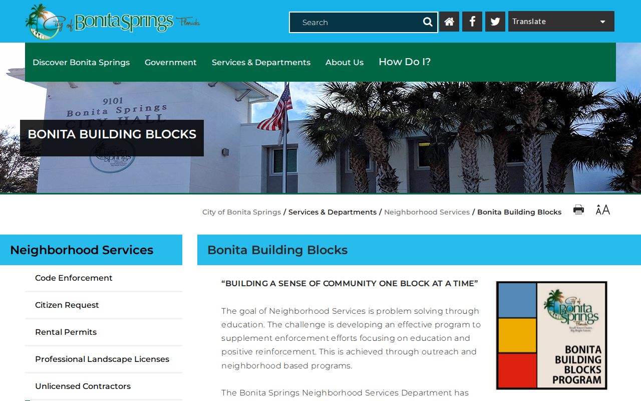
Use the program to identify a community contact or emergency channel, then respect each association's own rules for private rosters.
| Named community | Verified public context |
|---|---|
| Village Walk and Palmira | Named in city outreach communications |
| Bonita Bay and Bonita Lakes | Named participating-community examples |
| Worthington and Fairway Dunes | Named participating-community examples |
| Shangri-La Road area | Named area in municipal outreach |
Bonita Springs Voter Block Limits
Florida treats a voter's name, address, date of birth, party, phone, and email as public, while Social Security numbers, driver-license or state-ID numbers, registration source, and copying of signatures are restricted by section 97.0585. The Lee Elections self-check is designed for a voter to inspect their own record, not browse a block.
A lawful public-record request or voter extract may be sortable by address. Confidential voters and exempt fields must be removed. Absence proves very little: it cannot identify unregistered adults, minors, renters, or ballot choices. Record the extract date because registration and address data change. Lee Elections also offers phone, mail, in-person, fax, and request channels when the self-check does not answer a public-data question.
Bonita Springs Radius Safety Search
The FDLE Sexual Offender and Predator Search has an address, city, ZIP, and radius mode. It is a specific statutory public-safety tool, not a general directory of neighbors. Results may show a photograph, name and aliases, status, reported address source, and qualifying offenses. Read the agency's accuracy and misuse warnings.
The captured search screen helps distinguish a radius registry query from an ordinary parcel search.
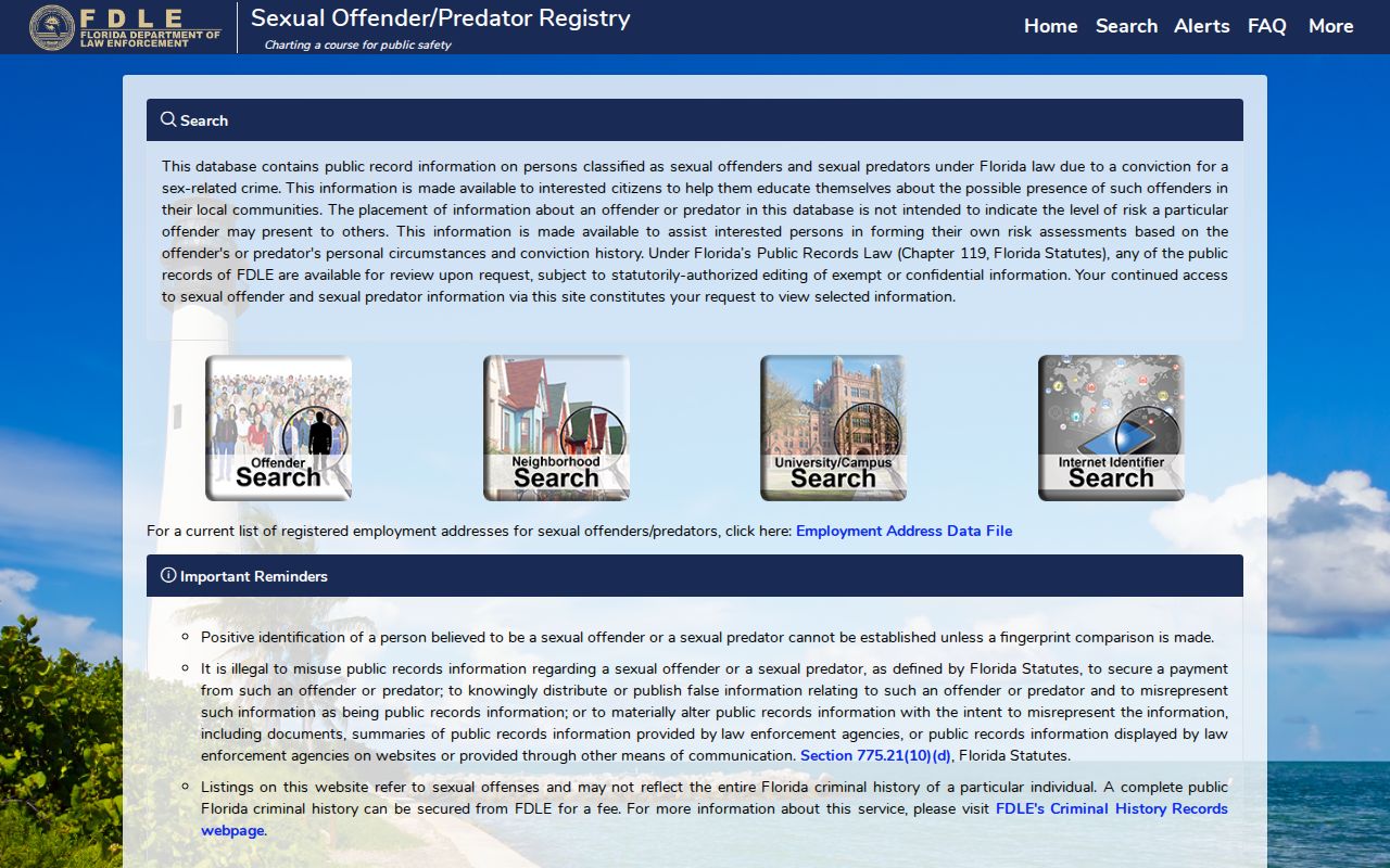
Verify a result at the official agency and do not treat a map marker as a complete account of a person or block.
Check Bonita Springs Block Geography
A Bonita Springs mailing line does not prove that a parcel lies within the incorporated city. ZIP areas cross municipal and community concepts, especially near Estero, unincorporated land to the east and southeast, and the Collier County line. Check the city interactive map and Lee Maps and Apps before deciding which office holds a permit or code case.
Older records may sit with a different custodian when annexation or jurisdiction changed. The record date matters. Condominiums, golf communities, older small lots near Old 41 and the Imperial River, planned communities, and land-lease arrangements also create different parcel patterns. A single map method cannot turn all of them into the same kind of neighbor list.
Official Bonita Springs Neighbor Evidence
Commercial neighbor tools compile records from many sources and may preserve stale addresses or merge people with similar names. Official rolls are narrower, but each has a named custodian, a record date, and a defined purpose. Use commercial output only as an unverified lead.
| Choice | Strength | Main limit |
|---|---|---|
| Official parcel and GIS records | Current land identity and owner of record | Do not list all occupants |
| Official voter data channel | Dated registration information under state law | Protected people and fields are omitted |
| Community program or association | Voluntary civic contacts | No automatic right to member data |
| Commercial compiled category | May collect broad leads | Stale links, cost, and same-name errors |
Two independent records should agree before a person is linked to a parcel. Even then, describe only what the records prove.
Protect Bonita Springs Neighbors
Public maps do not reveal every renter, household member, relationship, minor, or visitor. Utility and delivery data are not public neighbor lists. Florida's Address Confidentiality Program protects eligible victims of domestic violence and stalking, and other exemptions can remove addresses from public display. A missing name may reflect law, source design, or ordinary life rather than secrecy.
Lawful use. Use block records for civic questions and personal safety awareness. Never use them to watch, harass, intimidate, or harm Bonita Springs neighbors.
Keep the search small: one address, adjacent parcels, dated official records, and a clear personal purpose. Do not publish an inferred household or merge private association data into a dossier. Good block research leaves room for facts the public record cannot and should not show.