
Walk a Bonita Springs Street
A sound address search keeps ownership, mailing, and physical presence separate. The Lee County Property Appraiser identifies the parcel owner and the situs address, meaning the physical site. The owner mailing address is where appraisal mail goes. It may point to another state, a trust, or a management office. A homestead exemption can support owner-occupancy, but it is not final proof that a named person is present today.
Use this order to build a street-by-street record trail without making that leap:
- Confirm the delivery ZIP and municipal jurisdiction. A Bonita Springs mailing line alone does not prove the parcel is inside city limits.
- Search Lee Property Data Search with Site Info, using the street name and little house-number detail. Save the situs address, STRAP, owner, legal description, and roll date.
- Open the parcel in Lee GeoView or the county's Maps and Apps. Pan along both sides and click each mapped parcel.
- Carry the STRAP, instrument number, or book and page into the Lee Clerk Official Records search. Read the deed image for the legal transfer.
- Use a lawful voter-record request for public address rows, then consult a dated reverse directory for historical occupants. Note protected voters and gaps in every result.
The Bonita Springs street directory becomes reliable only when each finding has a date and a stated role. An owner, voter, permit applicant, and historical occupant are not interchangeable labels.
Search Bonita Springs by Address
The Property Appraiser owns the full modern address inspection on this street directory. Its search offers more than a simple owner box. Site Info searches the physical parcel address, while Owner Info searches the address associated with the owner record. Whole-street work is easiest with a street name first, followed by a postal code when the name is not unique.
| Appraiser field | Input | Best street use | Format note |
|---|---|---|---|
| Street Address | Text | Find parcels by situs or owner source | Choose Site Info or Owner Info |
| Postal Code | Text | Narrow a repeated street name | Useful as a second filter |
| Owner Name | Text | Return to a known parcel owner | Enter last name first |
| Parcel or STRAP | Text | Open one exact parcel | Keep hyphens and leading zeros |
| Property Description | Text | Search subdivision or legal words | Helpful after an address changed |
| Instrument or Book/Page | Text | Bridge appraisal to deed | Found on transaction records |
A parcel page can show the owner of record, mailing and site addresses, legal description, the first year a building appeared on the roll, sales, permits, exemptions, and map links. Previous and Next Parcel Number controls may aid nearby research, but parcel-number order is not always street order.
The Lee Property Appraiser home page shows the quick property-search entry used for Bonita Springs address work.
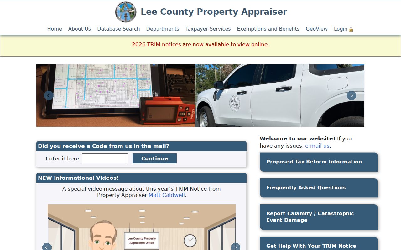
The pictured search is the starting point, while the parcel detail supplies the dated facts needed to compare a whole street.
Bonita Springs Street Record Sources
No single custodian keeps a full street directory. Lee County and Bonita Springs divide the useful address records by purpose. The stable link between systems is usually the STRAP or legal description, not a person's current name.
| Address source | Record keeper | Street evidence | Access route |
|---|---|---|---|
| Parcel and tax roll | Lee Property Appraiser | Owner, situs, mailing, STRAP, sales, exemptions | Free web search or office request |
| Parcel geography | Lee and Appraiser GIS | Lot shape, adjacent parcels, aerial and district context | Free interactive map |
| Deeds, liens, plats | Lee Clerk | Parties, transfer date, legal description, image | Web image, certified copy, counter, mail |
| Voter address rows | Lee Elections or Florida DOS | Public registered-voter residence fields | County request or state extract |
| Permit files | Bonita Community Development | Project, date, contractor or applicant | Portal, counter, or records request |
| Code cases | Neighborhood Services | Site, notices, compliance, hearing or lien events | Citizen portal, counter, or request |
The deed image and appraisal roll answer different questions. The appraiser gives current parcel facts. The Clerk supplies the legal conveyance that moved title. Permits and code cases document events at a site, but an applicant, contractor, or complainant may never have lived there.
Map Bonita Springs Street Parcels
GeoView adds the shape that a text result lacks. Search or zoom to the target address or STRAP, turn on parcel boundaries and aerial imagery, click the parcel, then open appraisal details. Pan in small steps along both street sides. Condominiums, common association parcels, and land-lease settings can make the map look unlike a row of detached homes, so record the legal parcel type before counting lots.
The county's Lee Maps and Apps collection provides the broader GIS route used to check parcels, districts, flood context, and public boundaries.

The county map catalog helps test which layer applies, but the record date still controls because district and city limits can change.
Carry Bonita Springs STRAP to Deeds
A deed search is based on names and legal land identity, not always the modern street address. Copy the STRAP, legal description, instrument number, or book and page from the parcel record. In Official Records, accept the disclaimer, change the default date range when needed, and search by the exact instrument or parties. For a name search, the Clerk recommends a last name plus first initial, followed by browsing.
To extend the chain back, treat the seller on the current deed as a possible prior owner. Search that grantor as a grantee at an earlier date, then confirm that the legal description matches. Mortgages and releases help separate people with the same name, but they do not transfer ownership. Public images may be viewed and printed online. Certified copies can be ordered electronically, at the Fort Myers or Cape Coral recording counters, or by mail with identifying details and a self-addressed stamped envelope.
- Parcel or STRAP
- Lee County's stable land identifier used across appraisal, tax, deed, and map systems.
- Situs address
- The physical E911 site address, which can differ from an owner's mailing address.
- Plat
- A recorded map that ties a subdivision, block, and lot to the legal description.
- Criss-cross directory
- A historical directory arranged by street and house number rather than by surname.
Bonita Springs Voters by Street
The Check My Voter Record form is meant for a voter to verify a matched record. It is not an open street browser. A lawful county public-record request or the statewide monthly voter extract may produce address-sortable rows after protected data is removed. Lee Elections accepts requests by phone, email, fax, mail, or in person, including at its Bonita Commons branch.
Florida treats a voter's name, address, date of birth, party affiliation, phone, and email as public, while identification numbers, registration source, and copying of a signature are restricted. Address Confidentiality Program participants and other protected voters must be omitted. Voting history means participation in an election, never ballot choice. A street result also excludes people who are not registered and can include stale registrations, so it must not be presented as a household list.
Note: Florida updated its official voter-public-record guidance in 2025, making the current state explanation the best source for field limits.
Bonita Springs Address Case Files
City records add dated activity that may not appear in a deed. Community Development holds permits, zoning, building, plans, and inspection files. Those records can show a project description, contractor or applicant, and inspection milestones. Neighborhood Services handles code enforcement, citizen requests, rental permits, and professional landscape licenses. A code file may show the site, owner contact, alleged condition, notices, compliance, and hearing or lien events.
The Bonita Springs Neighborhood Services page identifies the city channel for these address-based matters.
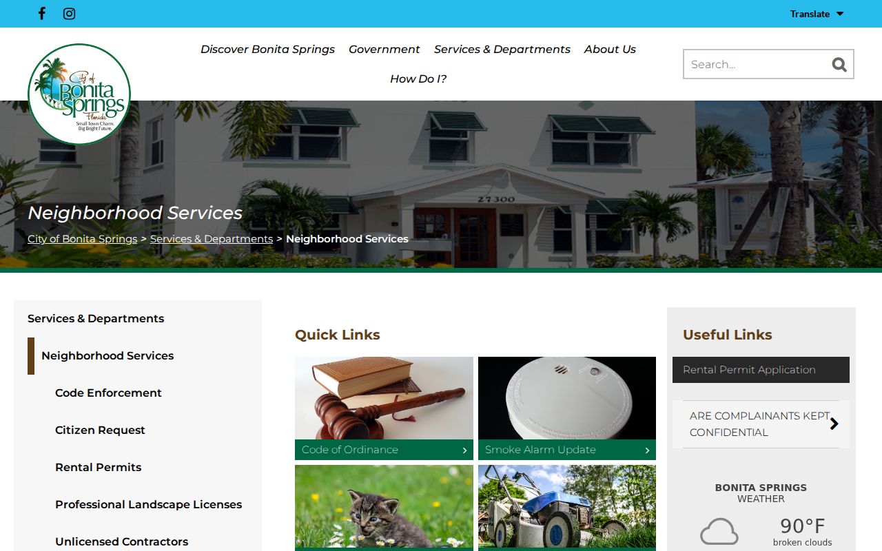
This office record can date a condition or project. It cannot prove that the filer or property owner occupied the address.
Old Bonita Springs Street Names
Historical address work has two catalog traps. The community was known as Survey before the Bonita name took hold, and the city did not incorporate until 1999. Older road, permit, planning, and code files may therefore remain with Lee County even when the parcel now lies inside Bonita Springs. Later annexations can also shift which office holds a record.
No authoritative citywide street-renumbering year was found. Do not force an old rural route into a modern number. Search Survey, Bonita, Bonita Springs, the rural-route form, the subdivision name, the plat, and the legal description. The Bonita Springs area maps help distinguish postal wording from the incorporated boundary.
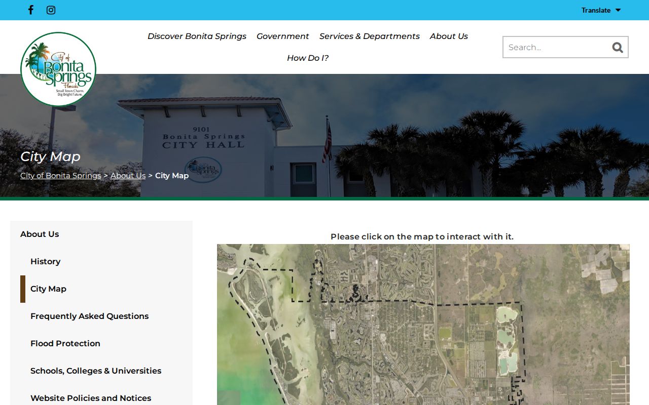
The city map should be paired with Lee GIS and the STRAP because a Bonita Springs mailing address may sit outside the municipal line.
Read Bonita Springs Streets Historically
A reverse or criss-cross directory changes the direction of a normal name search. Choose a year, open the street section, and follow house numbers in order. Record the occupant printed at each address, then cross-reference the alphabetical entry for a spouse, occupation, or other publisher notation. Photograph the title page and abbreviation legend because each edition can use different marks.
Bonita appears within regional Fort Myers and Lee County directory coverage rather than a verified, complete annual Bonita run. The exact volume must be checked for Bonita inclusion. The full shelf and reading method belong to the Bonita Springs city directory collections; here, the reverse section serves only as a dated address tool. Seasonal absence, missed canvassing, and rural routes all create gaps.
Earlier Lee Street Records
The online Official Records search opens with a 2010 start date, but Lee County's books begin in 1887. Change the date field before deciding that an instrument is missing. If the web index still fails, the Lee Clerk Historical Document Library preserves more than 150 original volumes, including general indexes, bride and groom books, tax-deed records, commission minutes, and a Marks and Brands book dating to 1899.
Fragile books cannot be copied. Handheld photography and scanning are welcomed, which lets a researcher capture an index reference without stressing a binding. Land from before Lee County's creation may require Monroe County or older state and federal sources. That county-history break matters more than a modern street spelling.
Limits of Bonita Springs Street Records
A street directory cannot name every person in a home. Tax rolls and deeds identify owners, not renters or household members. Voter data omits nonvoters, minors, and protected people. Permit records name project actors. Utility customer data may be confidential or unavailable, and motor-vehicle addresses are restricted by federal law. Even a current owner mailing address can lead far from the site.
Use public address records for family history, parcel research, civic questions, or verifying a transaction. Keep the record date, role, and source attached to every name. Do not publish inferred households or combine unrelated files into a personal dossier.
When two sources conflict, ask the custodian for the dated record rather than choosing the result that seems newest.
Lawful use. Bonita Springs address records may be used for lawful personal research, never to stalk, harass, threaten, or harm another person.