
Bonita Springs ZIP Coverage
Three postal codes have distinct roles in the Bonita Springs ZIP code directory. Research the street address with the live USPS tool because official sources did not publish a precise neighborhood-by-neighborhood prose boundary or a documented realignment year. The table describes broad service patterns, not survey lines.
| Postal code | General area or role | Post-office context | Important note |
|---|---|---|---|
| 34134 | Western and coastal Bonita Springs, including the Bonita Bay and Pelican Landing vicinity | Bonita Springs delivery area | Crosses community and municipal concepts; verify parcel jurisdiction |
| 34135 | Central and eastern Bonita Springs, Old 41, downtown, and areas east of I-75 | Principal Bonita Springs delivery area | City Hall and most city offices use this code |
| 34133 | Post-office boxes and legacy postal use | Limited or box role | Confirm a current box with USPS; do not treat it as a mapped polygon |
The Bonita Springs Post Office stands at 26150 Old 41 Road, while the Bonita Beach Road station is at 9071 Bonita Beach Road SE. Both offer post-office boxes. The main office also lists general delivery, carrier, bulk-mail, passport, and identity-proofing services. A station's street code does not prove which code USPS assigns to boxes inside it.
Verify a Bonita Springs ZIP
USPS assigns delivery codes and preferred city names. Lee County E911 maintains site addresses used by the Property Appraiser, while city Community Development handles development and permit addressing. Those jobs differ. Confirm the postal code before filtering any roll, especially when an address sits near Estero, the unincorporated east and southeast, or the Collier County line.
Open the USPS ZIP Code Lookup and enter the complete delivery address rather than guessing from a nearby station.
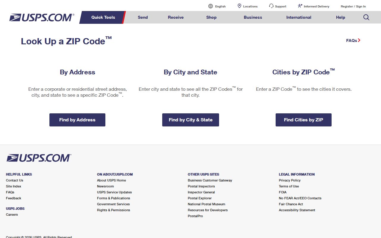
Keep the returned address as a postal fact. For land identity, preserve the STRAP or Folio and legal description shown by the county. Those keys remain useful when street wording or jurisdiction changes.
Find Bonita Springs Residents by ZIP
Several official systems accept postal codes, though each reveals a different kind of relationship. The Lee Property Appraiser can search parcels by postal code with either owner-address or site-address context. Florida's business index accepts ZIP and street-address filters. The FDLE registry accepts ZIP and also provides an address-and-radius mode. The voter self-check is not a public ZIP browse, but a lawfully obtained statewide or Lee extract can be sorted after protected records and fields are excluded.
- Verify the delivery code for one full address through USPS.
- Search the Lee Property Appraiser by Postal Code. Choose site information for physical parcels or owner information for mailing destinations.
- Review parcel dates and roll year. Do not treat every owner as a current occupant.
- Use a voter extract, business record, or other official ZIP filter only when it fits the lawful personal purpose.
- Once the area is small enough, move to the Bonita Springs street directory for address-level work.
A ZIP-wide result is a candidate set, not a residents list. PO boxes, seasonal mailing destinations, vacant parcels, company addresses, and protected voters all change what appears.
Search Bonita Springs Parcels by ZIP
The Property Appraiser offers the most useful local ZIP filter because its parcel page connects the code to an owner, physical site, correspondence address, legal description, transaction history, permits, values, and exemptions. Its Owner Info and Site Info choices expose a key distinction: tax mail may travel to a different ZIP from the land.
| Search field | What to enter | Why it matters |
|---|---|---|
| Postal Code | Five-digit ZIP | Builds a parcel set within the chosen address context |
| Owner Info | Mailing-address mode | Finds where tax correspondence goes |
| Site Info | Physical-address mode | Finds parcels physically addressed in that code |
| STRAP / Folio | County parcel identifier | Returns one land record despite postal wording changes |
| Legal description | Subdivision or legal words | Supports land-based searching when addresses fail |
Lee STRAP is a hyphenated section-township-range, subdivision, block, and parcel identifier often shown in a 17-character pattern. Preserve its zeros and hyphens as portal help directs. The Folio ID is an alternate parcel key.
Bonita Springs ZIPs Versus City Limits
A Bonita Springs mailing city does not prove that a parcel is inside incorporated Bonita Springs. Postal delivery and local government draw lines for different purposes. Compare the official city interactive map with Lee County's incorporated-areas map when city jurisdiction affects a permit, code case, council district, or agency request. This boundary mismatch is the most important caution in the ZIP code directory.
Incorporation occurred in 1999, and later annexation ordinances changed the municipal edge. An older permit may remain with Lee County even when a newer city map places the property inside Bonita Springs. Check which government served the address on the record date.
Boundary check. Treat the postal city as a delivery label, then use city and county GIS to confirm legal jurisdiction.
Read Bonita Springs Address Fields
Official systems can display several addresses for one parcel or person. Situs means the E911 physical location. Owner mailing is the correspondence destination. The USPS ZIP routes delivery. A legal description identifies the land without depending on a street label. A deed may therefore index the legal description and STRAP even when a familiar street address has changed.
- ZIP and ZIP+4
- A ZIP is the five-digit delivery area. ZIP+4 adds a smaller delivery segment, often a block, building, or group of boxes.
- PO-box ZIP
- A code used mainly or only for mail collected from post-office boxes, not a normal land polygon.
- Unique ZIP
- A code assigned to one high-volume organization. Research found no unique institutional code for Bonita Springs.
- Carrier route
- The path used to sort and deliver mail within a postal area. It is not a city district.
These distinctions stop a mailing address from becoming a false claim about physical residence. They also explain why the same ZIP filter can produce different parcel lists under Owner Info and Site Info.
Historic Bonita Springs ZIP Research
Modern postal filters are poor tools for records made before the present address system. The community was once known as Survey, and older sources may describe rural routes, a subdivision, or land rather than a current delivery address. Search Survey, Bonita, and Bonita Springs as separate place terms. Then use the legal description or parcel identifier to bridge an old deed, plat, tax record, or directory entry to the land shown today.
The date of city incorporation also matters. Bonita Springs incorporated in 1999, and annexations later moved parts of the local government line. A record created before annexation may remain with Lee County even though the parcel is now served by the city. For permits and code matters, ask both Community Development and the relevant Lee office when the record date straddles a boundary change. USPS cannot settle that custody question because postal routes do not decide which government created a file.
No official source reviewed for the Bonita Springs ZIP code directory identified one citywide street-renumbering event or a dated postal split. Avoid filling that gap with commercial map claims. The sound chain is the live USPS result for delivery, the Property Appraiser for parcel identity, and city or county GIS for the incorporated boundary.
Bonita Springs ZIP Public Records
Florida states that voter name, address, date of birth, party, phone, and email are public, but Social Security numbers, driver-license or state-ID numbers, registration source, and copied signatures are restricted. Address Confidentiality Program participants and preregistered minors receive added protection. A ZIP-sorted extract must honor those omissions.
The Florida voter extract request explains the statewide data channel.
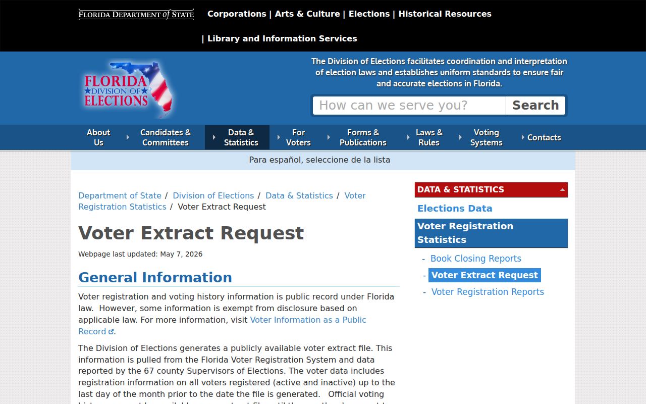
Lee Elections also accepts public-record requests by email, phone, fax, mail, and in person. A deposit and actual labor or media costs may apply. Ask for a specific file and date rather than an undefined search.
Official Bonita Springs Radius Search
FDLE's registry provides a specialized public-safety search by name, city, county, ZIP, status, or address radius. At least one geographic or name field is required. Results may show a photograph, aliases, registration status, address, address source, and qualifying offense information. FDLE warns that data changes quickly and is not a complete criminal history.
The FDLE neighborhood search is an official ZIP-capable source with strict limits on interpretation.
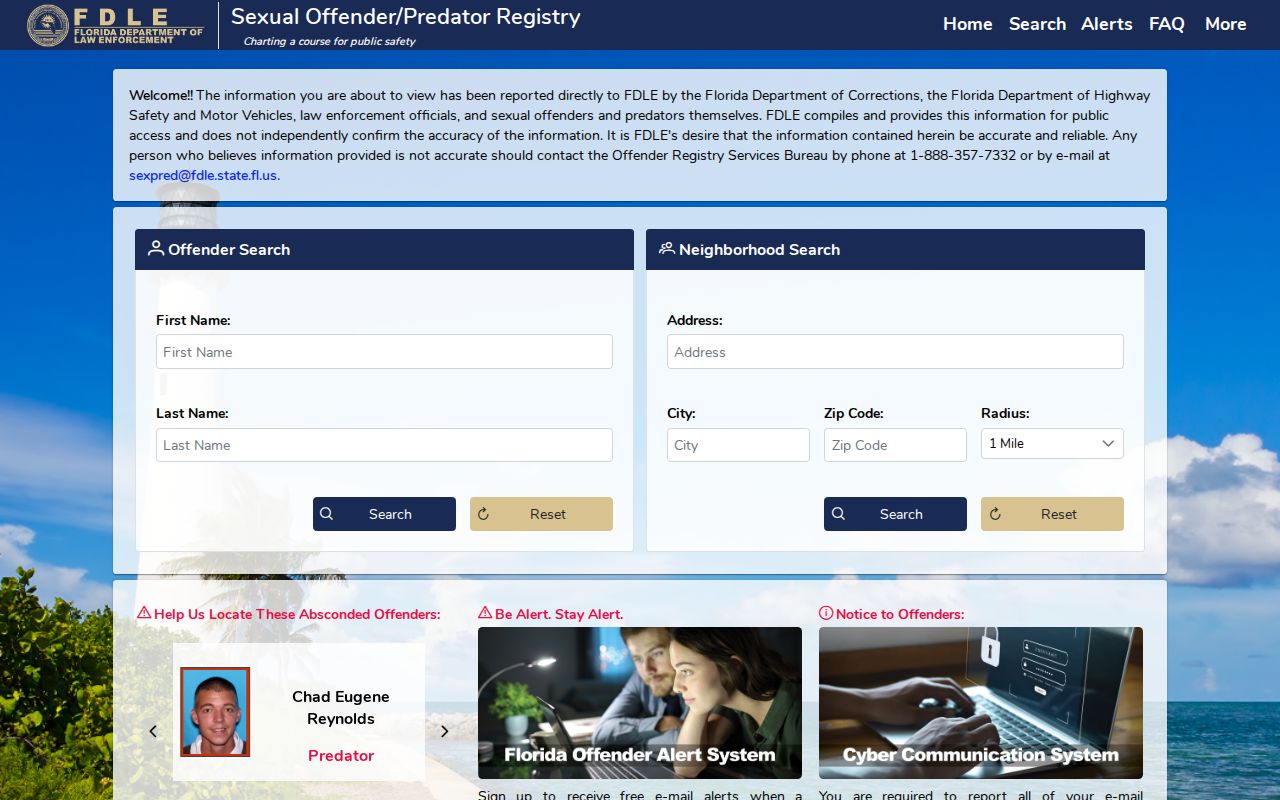
Never treat a registry result as a list of all residents in a ZIP. It covers only people subject to that registry and may include address types or statuses that require careful reading.